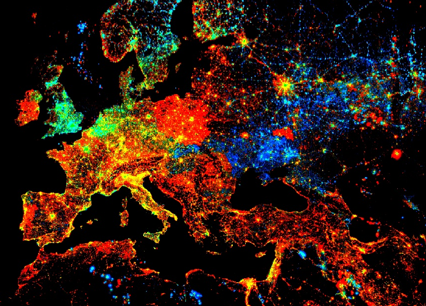
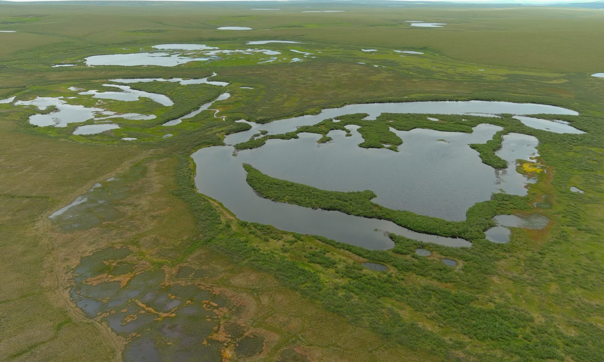
GGIS 476: Environmental Remote Sensing (formally “Applied GIS to Environmental Studies”). Demonstrates how GIS have become a fundamental application to study major problems encountered in physical and environmental geography. We use open source GIS and Remote Sensing platforms such as R and Google Earth Engine to address pressing ecological and environmental problems. Spring 2020, 2022, 2024.

